Marysville (MYV) flights
No airline flights seen here lately: public flight data has no airline departures or arrivals at Marysville (MYV) in the last 45 days.
Airport diagram

FAA chart (PNG) Official FAA PDF (effective Oct 29 to Nov 26)
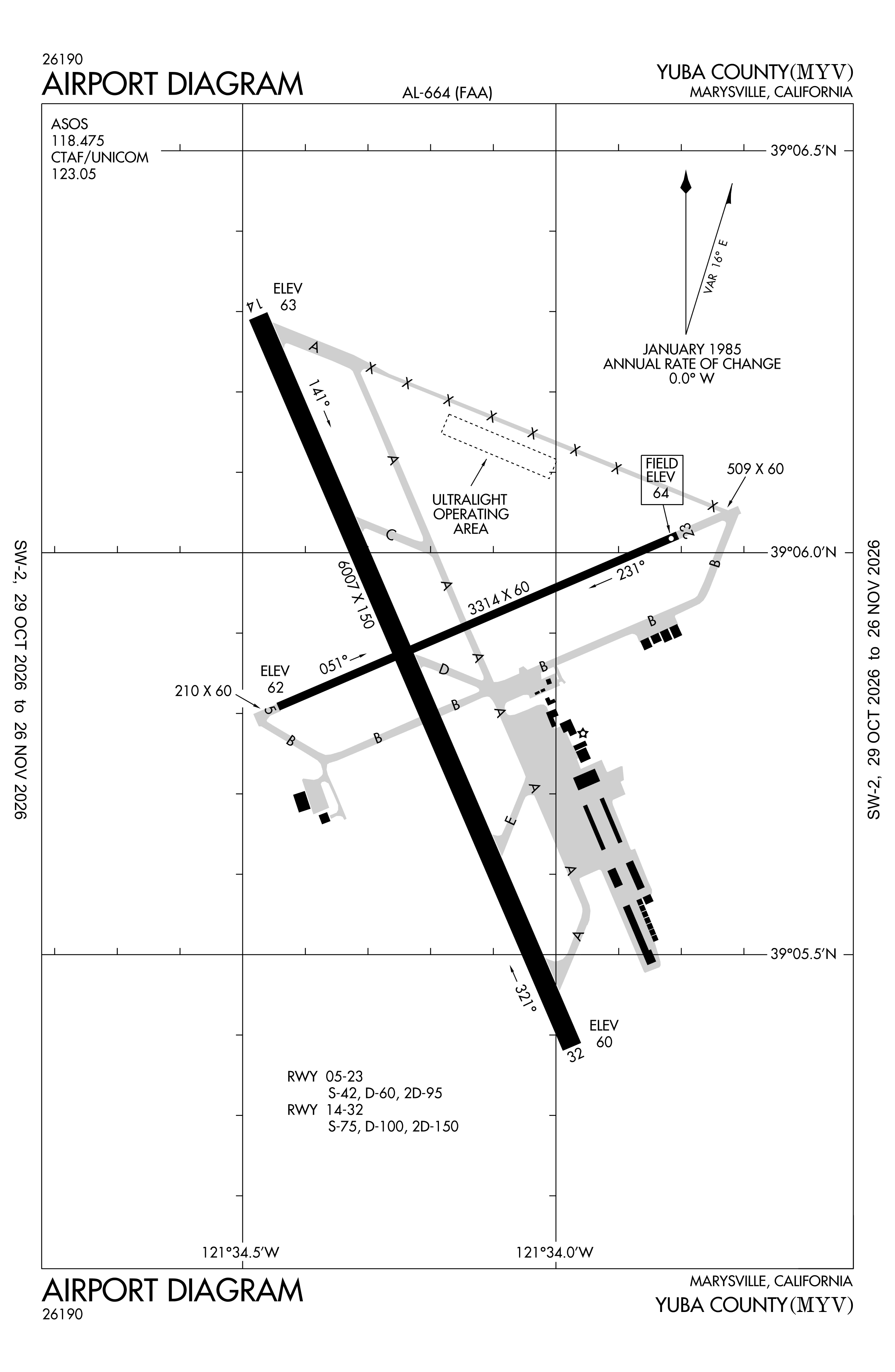
Redrawn by cwsi.net from the FAA airport diagram, cycle 2611, effective Oct 29 to Nov 26, 2026, and OpenStreetMap. Reference only, not for navigation.
In the air now
Loading flights in the air...
No flights within 20 miles right now
Flights to and from MYV within 20 miles, where public flight data last placed them; updated every minute. Zoom in for the runways and taxiways. Press a plane to follow it live on the tracker.
FBOs and services
FBOs
No FBOs are listed in OpenStreetMap for this airport.
Not listed? The FBO may not be in OpenStreetMap. Send a correction.
Data © OpenStreetMap contributors (ODbL), as of Nov 3, 2026.
More
The list in the air is live.